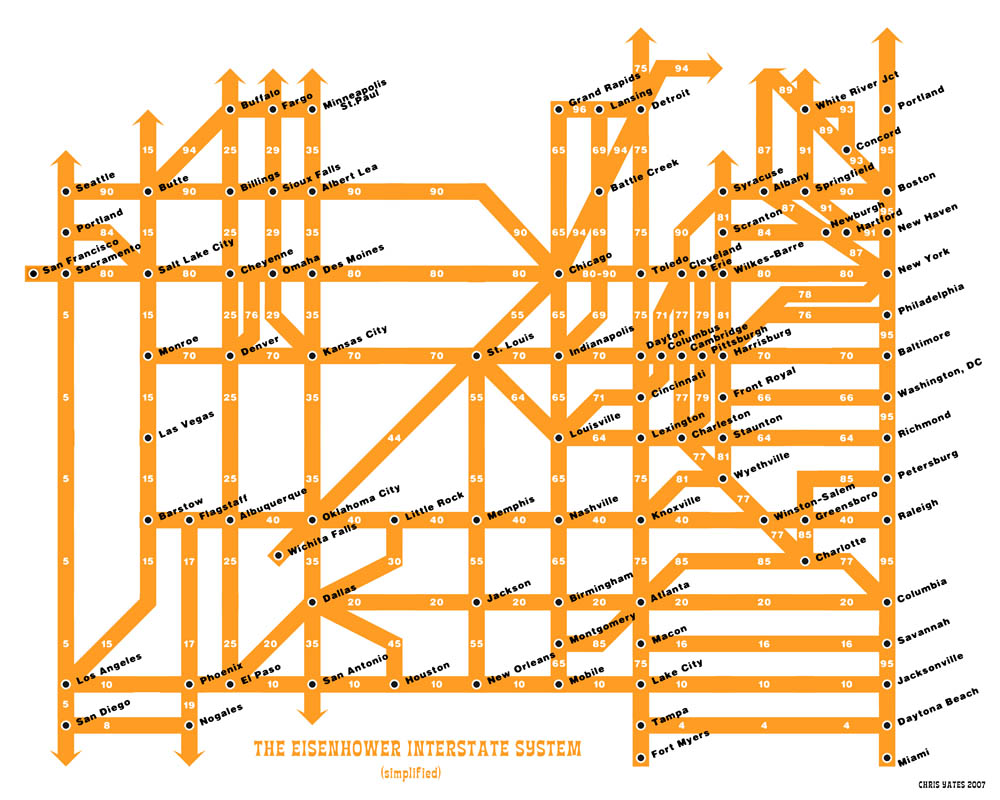
278theinterstatesystem.jpg (JPEG Image, 1064x821 pixels)
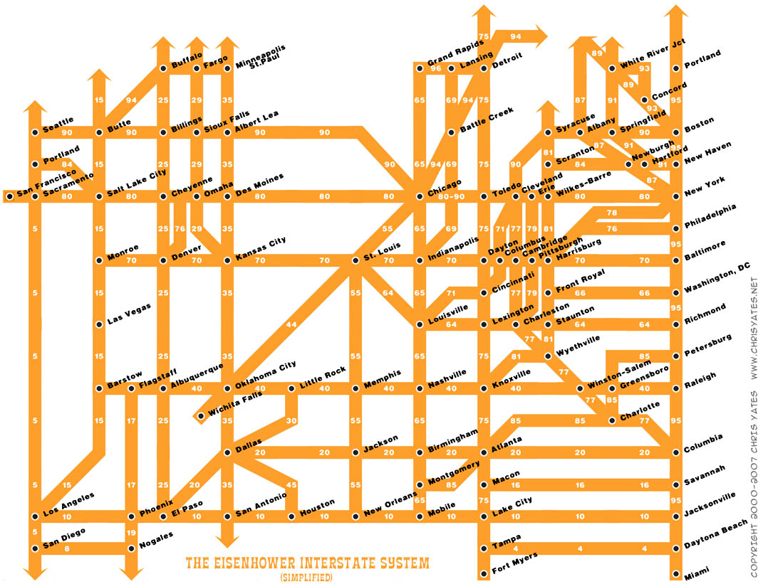
www.chrisyates.net/reprographics/comics/278theinterstatesystem.jpg
Saved 233 times on del.icio.us, most recently in 2012.
More links tagged maps
- visualcomplexity.com | A visual exploration on mapping complex networks www.visualcomplexity.com
- Google Maps maps.google.com
- OpenStreetMap www.openstreetmap.org
- Zillow.com - Your Edge in Real Estate www.zillow.com
- Gmaps Pedometer www.gmap-pedometer.com
- Flash Earth ...satellite and aerial imagery of the Earth in Flash www.flashearth.com
- Panoramio - Photos of the World www.panoramio.com
- Strange Maps strangemaps.wordpress.com
- World Digital Library Home www.wdl.org
- Flightradar24.com - Live Flight Tracker! www.flightradar24.com
More links tagged travel
- Vacation rentals, private rooms, sublets by the night - Accommodations on Airbnb www.airbnb.com
- Google Maps maps.google.com
- Cheap Flights, Airline Tickets, Cheap Airfare & Discount Travel Deals - Kayak.com www.kayak.com
- OpenStreetMap www.openstreetmap.org
- Airline Seating Charts - Best Airplane Seats - SeatGuru www.seatguru.com
- Hipmunk: Better Flight Search www.hipmunk.com
- TripIt | Organize your travel www.tripit.com
- Reviews of vacations, hotels, resorts, vacation and travel packages - TripAdvisor www.tripadvisor.com
- National Geographic - Inspiring People to Care About the Planet www.nationalgeographic.com
- timeanddate.com www.timeanddate.com
More links tagged interstate
- it may be good for you. www.chrisyates.net
- Factoring Rates as Low as 0.59% from Factoring Company Interstate Capital www.interstatecapital.com
- Qantas Homepage www.qantas.com.au
- fullinterstatemap-web.jpg (JPEG Image, 1000x800 pixels) www.chrisyates.net
- Last Minute Accommodation - Need It Now - Australia & New Zealand Hotels, Motels, Apartments and Resorts www.needitnow.com.au
- Eisenhower Interstate System in the style of H.C. Beck's London Underground Diagram on Flickr - Photo Sharing! www.flickr.com
- Australia's Leader in Small Group Tours www.adventuretours.com.au
- Ingenious Infographic: U.S. Highways, Mapped Like A Subway System | Co.Design: business + innovation + design www.fastcodesign.com
- U.S. Interstates as a Subway Map | Visual.ly visual.ly
- Flickr Photo Download: Eisenhower Interstate System in the style of H.C. Beck's London Underground Diagram www.flickr.com